
AGR was invited to participate in China Surveying and Mapping Geographic Information Expo
On October 15, Qifei Intelligent participated in the Ninth China Surveying and Mapping Geographic Information Technology Equipment Expo on behalf of Deqing Geographic Information Town, and displayed the A16 plant protection drone at this expo.
Deqing Geographic Information Town is the first characteristic town in the country with the concept of "geographic information", with the geographic information industry as its core, and the goal of becoming a "Davos town" in the world geographic information industry.

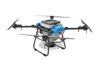
The Qifei Intelligent A16 plant protection drone is a painstaking effort by the research and development team. It has been repeatedly tested in the field and improved many times. The final production is available. It can carry 16 kg of medicine. The plant protection operation is accurate and efficient.
On the 60th anniversary of the founding of the Chinese Society of Surveying and Mapping, the expo takes the theme of "innovative integration and intelligent mapping of the future" to fully demonstrate the application of surveying and mapping geographic information technology in the management of natural resources such as mountains, rivers, lakes, grasses and seas, covering hardware and software, The latest technology and equipment such as system integration and solutions.
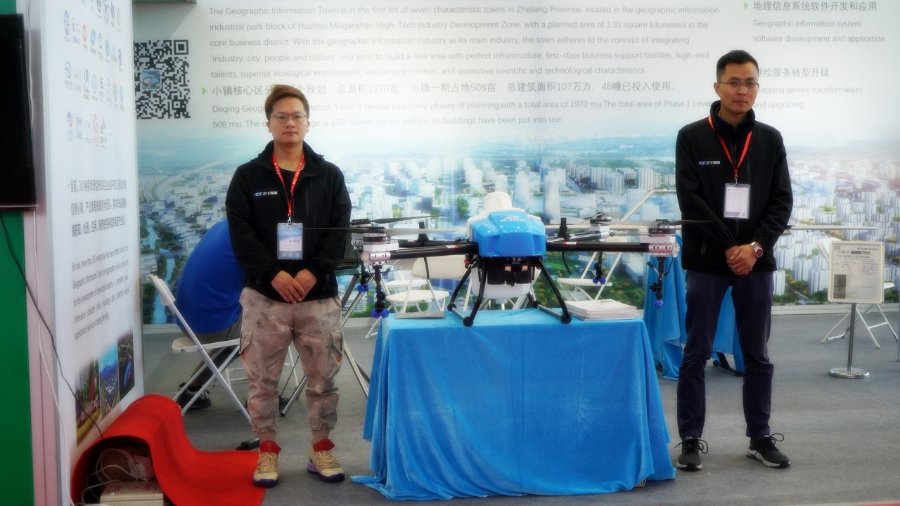
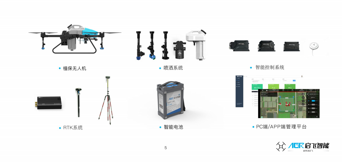
Qifei Intelligent has complete software and hardware development capabilities, making the drone more adaptable, capable of performing plant protection operations on a variety of complex terrain such as mountains, rivers, forests, lakes, lakes, lakes, and lakes. Achieve science and technology to serve the people.





 浙公网安备 33019202000647号
